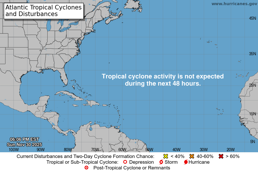
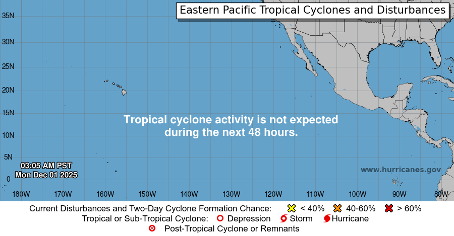
Data and Image Source: NOAA's National Weather Service National Hurricane Center
Please click on the map below for more detailed information on Hurricanes in the Atlantic
Satellite imagery providing visible, water vapor, and infrared images of the above area is available here

